Carlisle Crematorium
Introduction
The photograph on this page of Carlisle Crematorium by M J Richardson as part of the Geograph project.
The Geograph project started in 2005 with the aim of publishing, organising and preserving representative images for every square kilometre of Great Britain, Ireland and the Isle of Man.

There are currently over 7.5m images from over 14,400 individuals and you can help contribute to the project by visiting https://www.geograph.org.uk
Carlisle Crematorium
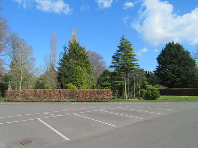
Image: © M J Richardson Taken: 18 Apr 2023
Parking area for mourners. Part of the extensive grounds of the crematorium and cemetery, which occupy 35ha in total.
Images are licensed for reuse under creativecommons.org/licenses/by-sa/2.0
Image Location
Latitude
54.876919
Longitude
-2.953914