Churchland Way looking West
Introduction
The photograph on this page of Churchland Way looking West by s as part of the Geograph project.
The Geograph project started in 2005 with the aim of publishing, organising and preserving representative images for every square kilometre of Great Britain, Ireland and the Isle of Man.

There are currently over 7.5m images from over 14,400 individuals and you can help contribute to the project by visiting https://www.geograph.org.uk
Churchland Way looking West
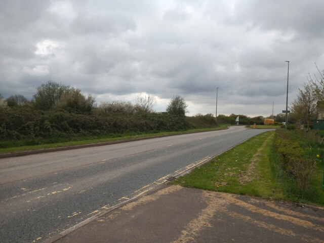
Image: © s Taken: 17 Apr 2023
This section of Churchland Road (from Wolvershill Road to Yew Tree Drive) was built in 2001, with the section from the West Wick Roundabout to Yew Tree Drive being built in 1996.
Images are licensed for reuse under creativecommons.org/licenses/by-sa/2.0
Image Location
Latitude
51.35167
Longitude
-2.904771