Former Methodist chapel and hall, Tanfield Lea
Introduction
The photograph on this page of Former Methodist chapel and hall, Tanfield Lea by Graham Robson as part of the Geograph project.
The Geograph project started in 2005 with the aim of publishing, organising and preserving representative images for every square kilometre of Great Britain, Ireland and the Isle of Man.

There are currently over 7.5m images from over 14,400 individuals and you can help contribute to the project by visiting https://www.geograph.org.uk
Former Methodist chapel and hall, Tanfield Lea
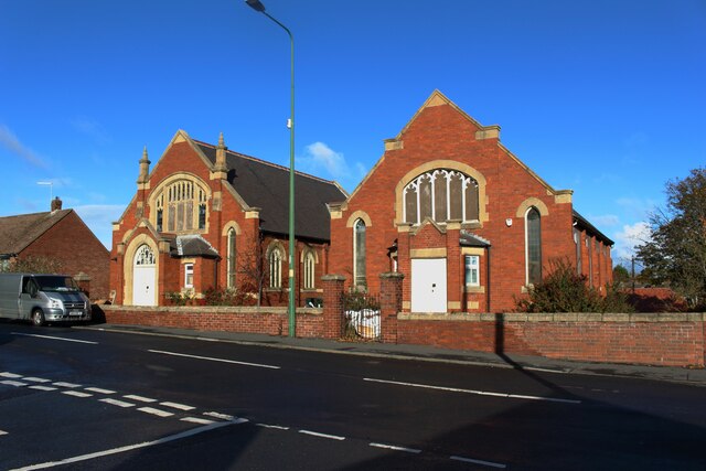
Image: © Graham Robson Taken: 28 Oct 2018
The large Methodist chapel and adjoining hall share quite a resemblence in scale and appearance. Both are closed.
Images are licensed for reuse under creativecommons.org/licenses/by-sa/2.0
Image Location
Latitude
54.880504
Longitude
-1.711473