Good Street, Stanley
Introduction
The photograph on this page of Good Street, Stanley by Graham Robson as part of the Geograph project.
The Geograph project started in 2005 with the aim of publishing, organising and preserving representative images for every square kilometre of Great Britain, Ireland and the Isle of Man.

There are currently over 7.5m images from over 14,400 individuals and you can help contribute to the project by visiting https://www.geograph.org.uk
Good Street, Stanley
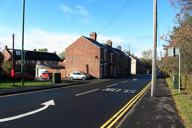
Image: © Graham Robson Taken: 28 Oct 2018
The houses on the left side of the street overlook a large playing area on the right side of the road.
Images are licensed for reuse under creativecommons.org/licenses/by-sa/2.0
Image Location
Latitude
54.876171
Longitude
-1.7034