Canal north-east of Dovecotes in Wolverhampton
Introduction
The photograph on this page of Canal north-east of Dovecotes in Wolverhampton by Roger Kidd as part of the Geograph project.
The Geograph project started in 2005 with the aim of publishing, organising and preserving representative images for every square kilometre of Great Britain, Ireland and the Isle of Man.

There are currently over 7.5m images from over 14,400 individuals and you can help contribute to the project by visiting https://www.geograph.org.uk
Canal north-east of Dovecotes in Wolverhampton
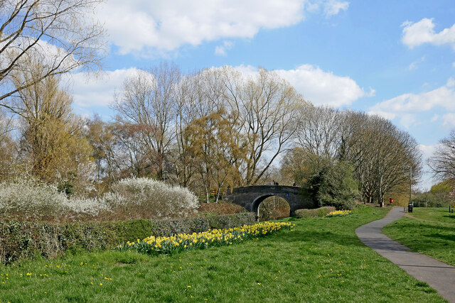
Image: © Roger Kidd Taken: 8 Apr 2023
This is the Shropshire Union Canal at Barnhurst Bridge, No 2. Autherley Junction with the Staffordshire and Worcestershire Canal is about 710 metres past the bridge. The Dovecotes estate at Pendeford is off to the right, bult in the 1970s on former Barnhurst Farm fields. * Nicholson's widely used waterways guides from the 1990s onwards call this Bathurst Bridge, and I assume the CanalPlan website has sourced this for their listing. I suspect this was a typographical error in the production of the guide books. Barnhurst Bridge is a far more likely name, being just 420 yards north-west of the original Barnhurst Farm. https://maps.nls.uk/geo/explore/#zoom=17.0&lat=52.62022&lon=-2.15519&layers=168&b=1
Images are licensed for reuse under creativecommons.org/licenses/by-sa/2.0
Image Location
Latitude
52.620616
Longitude
-2.154021