St. Giles Churchyard
Introduction
The photograph on this page of St. Giles Churchyard by terry joyce as part of the Geograph project.
The Geograph project started in 2005 with the aim of publishing, organising and preserving representative images for every square kilometre of Great Britain, Ireland and the Isle of Man.

There are currently over 7.5m images from over 14,400 individuals and you can help contribute to the project by visiting https://www.geograph.org.uk
St. Giles Churchyard
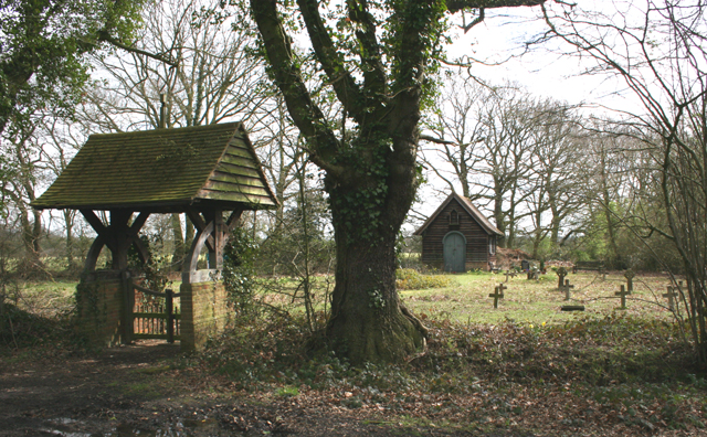
Image: © terry joyce Taken: 31 Mar 2008
There is an Essex Wildlife Trust sign calling this a Nature Reserve. When I tried to find out more about this from them, they had no information about it. They put me in contact with a former volunteer that used to look after it and he gave me a little information. It appears that it was a Church and Graveyard for St. Giles home for Lepers which was further along Moor Hall Lane. I found a website that mentions this, but I'm not sure it is the same location. http://www.leprosyhistory.org/cgi-bin/showdetails.pl?ID=439&type=lepann If you have any information, please add it and let me know
Images are licensed for reuse under creativecommons.org/licenses/by-sa/2.0
Image Location
Latitude
51.69569
Longitude
0.575587