A1099 Victoria Road Chelmsford, 2011
Introduction
The photograph on this page of A1099 Victoria Road Chelmsford, 2011 by Robin Webster as part of the Geograph project.
The Geograph project started in 2005 with the aim of publishing, organising and preserving representative images for every square kilometre of Great Britain, Ireland and the Isle of Man.

There are currently over 7.5m images from over 14,400 individuals and you can help contribute to the project by visiting https://www.geograph.org.uk
A1099 Victoria Road Chelmsford, 2011
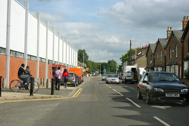
Image: © Robin Webster Taken: 15 Sep 2011
The newish postal building on the left has since been replaced with flats.
Images are licensed for reuse under creativecommons.org/licenses/by-sa/2.0
Image Location
Latitude
51.736962
Longitude
0.475528