Pathway in Pendeford Park, Wolverhampton
Introduction
The photograph on this page of Pathway in Pendeford Park, Wolverhampton by Roger Kidd as part of the Geograph project.
The Geograph project started in 2005 with the aim of publishing, organising and preserving representative images for every square kilometre of Great Britain, Ireland and the Isle of Man.

There are currently over 7.5m images from over 14,400 individuals and you can help contribute to the project by visiting https://www.geograph.org.uk
Pathway in Pendeford Park, Wolverhampton
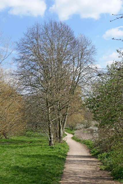
Image: © Roger Kidd Taken: 8 Apr 2023
Looking east-south-east. The Shropshire Union Canal is off to the right. This is an attractively landscaped public park with many groups of trees, a games court and a children's playground.
Images are licensed for reuse under creativecommons.org/licenses/by-sa/2.0
Image Location
Latitude
52.621602
Longitude
-2.155945