Upper Myrtle Hill
Introduction
The photograph on this page of Upper Myrtle Hill by Neil Owen as part of the Geograph project.
The Geograph project started in 2005 with the aim of publishing, organising and preserving representative images for every square kilometre of Great Britain, Ireland and the Isle of Man.

There are currently over 7.5m images from over 14,400 individuals and you can help contribute to the project by visiting https://www.geograph.org.uk
Upper Myrtle Hill
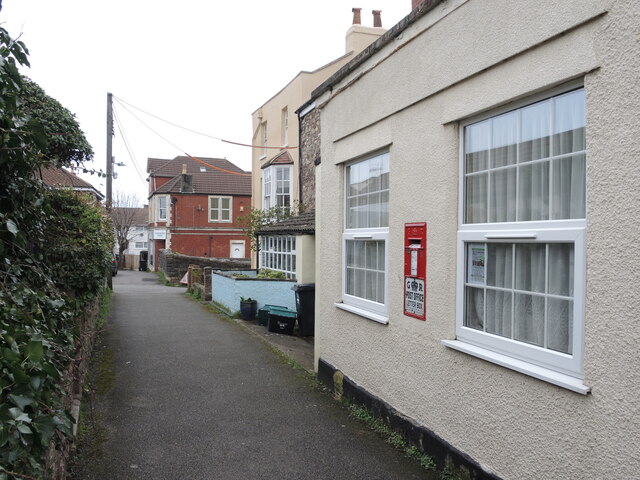
Image: © Neil Owen Taken: 22 Mar 2023
A view along the narrow lane, with the old Post Office nearest the camera. See Image] for a look at the uncommon letterbox.
Images are licensed for reuse under creativecommons.org/licenses/by-sa/2.0
Image Location


Leaflet Map data © OpenStreetMap
Latitude
51.480582
Longitude
-2.686693