Crusty Lane
Introduction
The photograph on this page of Crusty Lane by Neil Owen as part of the Geograph project.
The Geograph project started in 2005 with the aim of publishing, organising and preserving representative images for every square kilometre of Great Britain, Ireland and the Isle of Man.

There are currently over 7.5m images from over 14,400 individuals and you can help contribute to the project by visiting https://www.geograph.org.uk
Crusty Lane
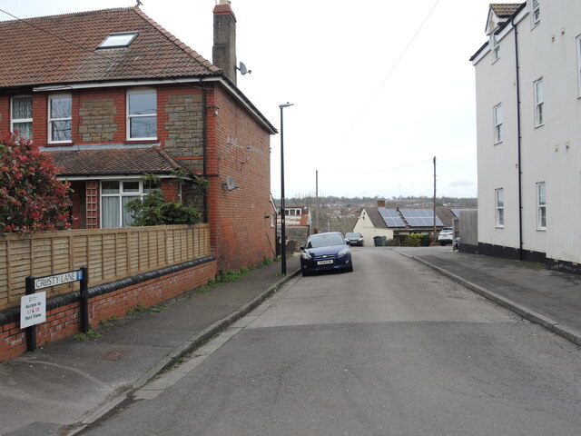
Image: © Neil Owen Taken: 22 Mar 2023
It's tempting to expect that there used to be a bakery around here in the past, but it seems not. The road leads into Monmouth Road, itself a recent addition to Pill in around the early twentieth century. The lane is close to a former pub, though, which has been replaced with modern housing.
Images are licensed for reuse under creativecommons.org/licenses/by-sa/2.0
Image Location
Latitude
51.481392
Longitude
-2.686705