2008 : Lydes Farm near Buckland Dinham
Introduction
The photograph on this page of 2008 : Lydes Farm near Buckland Dinham by Maurice Pullin as part of the Geograph project.
The Geograph project started in 2005 with the aim of publishing, organising and preserving representative images for every square kilometre of Great Britain, Ireland and the Isle of Man.

There are currently over 7.5m images from over 14,400 individuals and you can help contribute to the project by visiting https://www.geograph.org.uk
2008 : Lydes Farm near Buckland Dinham
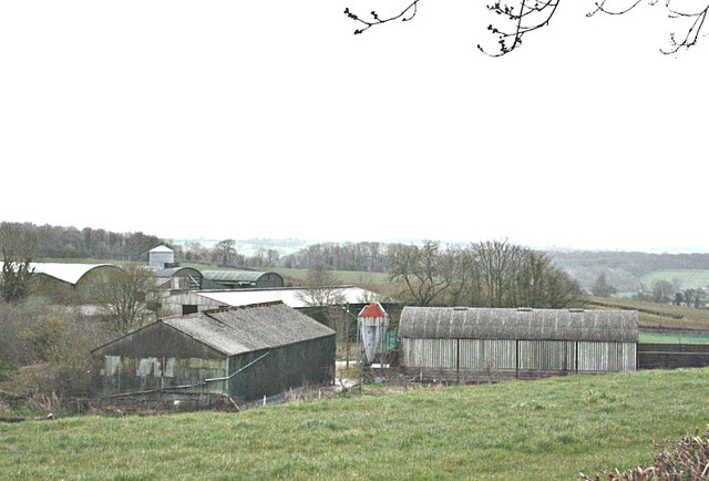
Image: © Maurice Pullin Taken: 31 Mar 2008
On the A362 west of Buckland Dinham, Lydes Farm is seen here from Colliery Lane, a side road leading to Mells.
Images are licensed for reuse under creativecommons.org/licenses/by-sa/2.0
Image Location


Leaflet Map data © OpenStreetMap
Latitude
51.259548
Longitude
-2.372267