Pitchford Village
Introduction
The photograph on this page of Pitchford Village by TCExplorer as part of the Geograph project.
The Geograph project started in 2005 with the aim of publishing, organising and preserving representative images for every square kilometre of Great Britain, Ireland and the Isle of Man.

There are currently over 7.5m images from over 14,400 individuals and you can help contribute to the project by visiting https://www.geograph.org.uk
Pitchford Village
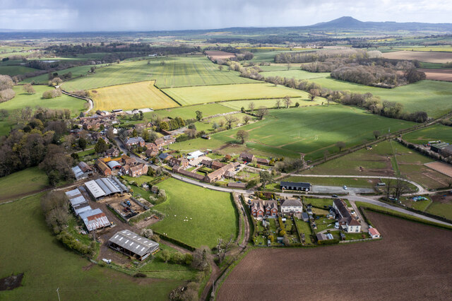
Image: © TCExplorer Taken: 13 Apr 2023
The Wrekin (and some local rain showers) is in the background. The village hall is in the centre-right of the image. See also Image
Images are licensed for reuse under creativecommons.org/licenses/by-sa/2.0
Image Location
Latitude
52.629104
Longitude
-2.695083