Field on the foreshore
Introduction
The photograph on this page of Field on the foreshore by Neil Owen as part of the Geograph project.
The Geograph project started in 2005 with the aim of publishing, organising and preserving representative images for every square kilometre of Great Britain, Ireland and the Isle of Man.

There are currently over 7.5m images from over 14,400 individuals and you can help contribute to the project by visiting https://www.geograph.org.uk
Field on the foreshore
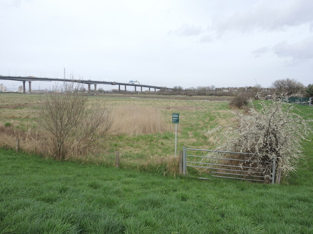
Image: © Neil Owen Taken: 22 Mar 2023
Pill Foreshore is listed as: a Ramsar Site, Special Protection Area, Special Area of Conservation and Site of Special Scientific Interest - all at once! The defined land extends up past the M5 bridge on the south side of the Avon.
Images are licensed for reuse under creativecommons.org/licenses/by-sa/2.0
Image Location
Latitude
51.483622
Longitude
-2.689619