Former Abinger Arms
Introduction
The photograph on this page of Former Abinger Arms by Ian Capper as part of the Geograph project.
The Geograph project started in 2005 with the aim of publishing, organising and preserving representative images for every square kilometre of Great Britain, Ireland and the Isle of Man.

There are currently over 7.5m images from over 14,400 individuals and you can help contribute to the project by visiting https://www.geograph.org.uk
Former Abinger Arms
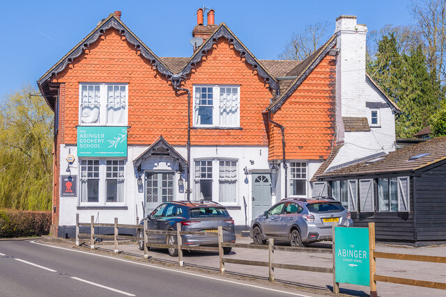
Image: © Ian Capper Taken: 4 Apr 2023
Former pub on Guildford Road, first licensed in 1840 but which closed in 2012, now housing a cookery school.
Images are licensed for reuse under creativecommons.org/licenses/by-sa/2.0
Image Location
Latitude
51.216399
Longitude
-0.433505