Heathland north-west of Pendeford, Wolverhampton
Introduction
The photograph on this page of Heathland north-west of Pendeford, Wolverhampton by Roger Kidd as part of the Geograph project.
The Geograph project started in 2005 with the aim of publishing, organising and preserving representative images for every square kilometre of Great Britain, Ireland and the Isle of Man.

There are currently over 7.5m images from over 14,400 individuals and you can help contribute to the project by visiting https://www.geograph.org.uk
Heathland north-west of Pendeford, Wolverhampton
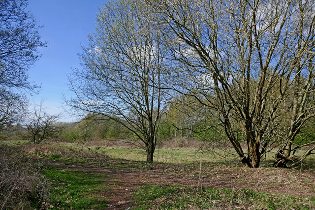
Image: © Roger Kidd Taken: 8 Apr 2023
Pendeford Public Nature Walk. This is also listed by (but nor owned by) The Woodland Trust and called Pendeford Wood. There is a beautiful area of heathland and birch woods open to the public here in Staffordshire, north of The Droveway. A mini car park can accommodate three or maybe four cars. If this area had been within the Wolverhampton boundary it would have probably been covered with housing when the rest of the land south of The Droveway was developed. The area is at the edge of the former Wolverhampton Airport (see the 1960s map on this link https://www.ukairfieldguide.net/airfields/Wolverhampton-Airport )
Images are licensed for reuse under creativecommons.org/licenses/by-sa/2.0
Image Location
Latitude
52.624118
Longitude
-2.157135