Ashdon Baptist Church
Introduction
The photograph on this page of Ashdon Baptist Church by Colin Bell as part of the Geograph project.
The Geograph project started in 2005 with the aim of publishing, organising and preserving representative images for every square kilometre of Great Britain, Ireland and the Isle of Man.

There are currently over 7.5m images from over 14,400 individuals and you can help contribute to the project by visiting https://www.geograph.org.uk
Ashdon Baptist Church
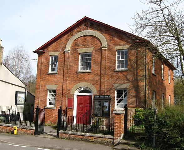
Image: © Colin Bell Taken: 30 Mar 2008
Historically there seems to have been so much of a divide between this church and All Saints Image that the two halves of the village became known as "Church End" and "Chapel End". Happily, the two now co-operate in many ways.
Images are licensed for reuse under creativecommons.org/licenses/by-sa/2.0
Image Location


Leaflet Map data © OpenStreetMap
Latitude
52.053632
Longitude
0.314751