Belmont Reservoir
Introduction
The photograph on this page of Belmont Reservoir by philandju as part of the Geograph project.
The Geograph project started in 2005 with the aim of publishing, organising and preserving representative images for every square kilometre of Great Britain, Ireland and the Isle of Man.

There are currently over 7.5m images from over 14,400 individuals and you can help contribute to the project by visiting https://www.geograph.org.uk
Belmont Reservoir
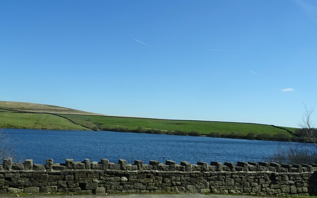
Image: © philandju Taken: 3 Apr 2023
After a wet winter and early spring the water level is very high and must be nearing capacity.
Images are licensed for reuse under creativecommons.org/licenses/by-sa/2.0
Image Location
Latitude
53.646313
Longitude
-2.497045