Samlesbury Bottoms
Introduction
The photograph on this page of Samlesbury Bottoms by philandju as part of the Geograph project.
The Geograph project started in 2005 with the aim of publishing, organising and preserving representative images for every square kilometre of Great Britain, Ireland and the Isle of Man.

There are currently over 7.5m images from over 14,400 individuals and you can help contribute to the project by visiting https://www.geograph.org.uk
Samlesbury Bottoms
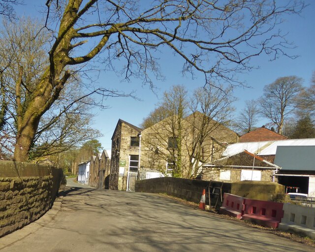
Image: © philandju Taken: 3 Apr 2023
Samlesbury Bridge in the foreground carries Goosefoot Lane over the River Darwen. Samlesbury Mill was originally a cotton mill, but is now home to light industries.
Images are licensed for reuse under creativecommons.org/licenses/by-sa/2.0
Image Location
Latitude
53.755153
Longitude
-2.578713