Up Verney Road, Stonehouse
Introduction
The photograph on this page of Up Verney Road, Stonehouse by Jaggery as part of the Geograph project.
The Geograph project started in 2005 with the aim of publishing, organising and preserving representative images for every square kilometre of Great Britain, Ireland and the Isle of Man.

There are currently over 7.5m images from over 14,400 individuals and you can help contribute to the project by visiting https://www.geograph.org.uk
Up Verney Road, Stonehouse
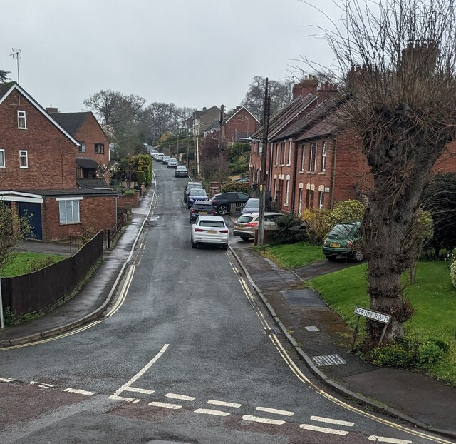
Image: © Jaggery Taken: 2 Apr 2023
Verney Road ascends to the NNE from the junction at the SE end of Upper Queen's Road and the NW end of Rosedale Avenue. Verney Road is not a through route for motor vehicles.
Images are licensed for reuse under creativecommons.org/licenses/by-sa/2.0
Image Location
Latitude
51.746787
Longitude
-2.278635