Belmont Grange, Norristhorpe Lane, Liversedge
Introduction
The photograph on this page of Belmont Grange, Norristhorpe Lane, Liversedge by Humphrey Bolton as part of the Geograph project.
The Geograph project started in 2005 with the aim of publishing, organising and preserving representative images for every square kilometre of Great Britain, Ireland and the Isle of Man.

There are currently over 7.5m images from over 14,400 individuals and you can help contribute to the project by visiting https://www.geograph.org.uk
Belmont Grange, Norristhorpe Lane, Liversedge
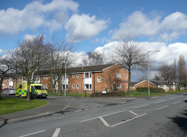
Image: © Humphrey Bolton Taken: 24 Mar 2008
A sheltered housing development, with 59 flats, managed by Kirklees Council..
Images are licensed for reuse under creativecommons.org/licenses/by-sa/2.0
Image Location
Latitude
53.700345
Longitude
-1.694