Baxter United Reform Church in Kidderminster
Introduction
The photograph on this page of Baxter United Reform Church in Kidderminster by Roger Kidd as part of the Geograph project.
The Geograph project started in 2005 with the aim of publishing, organising and preserving representative images for every square kilometre of Great Britain, Ireland and the Isle of Man.

There are currently over 7.5m images from over 14,400 individuals and you can help contribute to the project by visiting https://www.geograph.org.uk
Baxter United Reform Church in Kidderminster
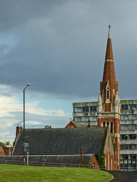
Image: © Roger Kidd Taken: 13 May 2014
This teleephoto assisted view, looking south-east from the canal towpath shows the church from a distance of almost two hundred metres. The dilapidated Crown House in the Bullring (demolished 2019-2020) is beyond the church. https://www.geograph.org.uk/photo/4145754
Images are licensed for reuse under creativecommons.org/licenses/by-sa/2.0
Image Location
Latitude
52.388601
Longitude
-2.250336