Exbourne looking South
Introduction
The photograph on this page of Exbourne looking South by s as part of the Geograph project.
The Geograph project started in 2005 with the aim of publishing, organising and preserving representative images for every square kilometre of Great Britain, Ireland and the Isle of Man.

There are currently over 7.5m images from over 14,400 individuals and you can help contribute to the project by visiting https://www.geograph.org.uk
Exbourne looking South
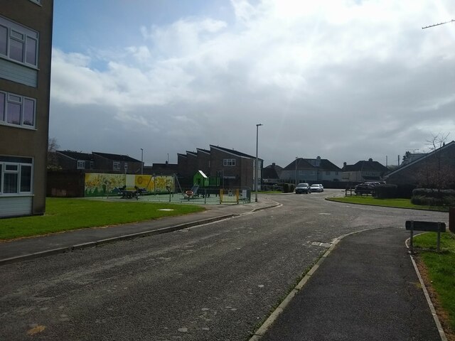
Image: © s Taken: 30 Mar 2023
Exbourne looking South towards the junction with Dartmouth Close. On the left is Dartmouth Close which opened in 2008 as Preanes Green Play Area, but was renamed in 2010. Exbourne and surrounding area was built in 1966 as part of the Preanes Green housing estate.
Images are licensed for reuse under creativecommons.org/licenses/by-sa/2.0
Image Location
Latitude
51.35979
Longitude
-2.91859