Road leading into Medomsley village
Introduction
The photograph on this page of Road leading into Medomsley village by Robert Graham as part of the Geograph project.
The Geograph project started in 2005 with the aim of publishing, organising and preserving representative images for every square kilometre of Great Britain, Ireland and the Isle of Man.

There are currently over 7.5m images from over 14,400 individuals and you can help contribute to the project by visiting https://www.geograph.org.uk
Road leading into Medomsley village
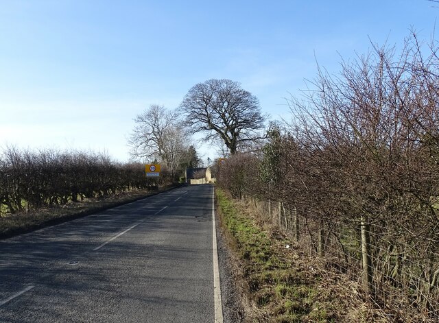
Image: © Robert Graham Taken: 6 Feb 2023
The top of Longclose Bank, the B6310, which climbs up the side of the Derwent Valley from the A694 into Medomsley village from the NE.
Images are licensed for reuse under creativecommons.org/licenses/by-sa/2.0
Image Location
Latitude
54.886894
Longitude
-1.80714