Moor Lane looking Northeast
Introduction
The photograph on this page of Moor Lane looking Northeast by s as part of the Geograph project.
The Geograph project started in 2005 with the aim of publishing, organising and preserving representative images for every square kilometre of Great Britain, Ireland and the Isle of Man.

There are currently over 7.5m images from over 14,400 individuals and you can help contribute to the project by visiting https://www.geograph.org.uk
Moor Lane looking Northeast
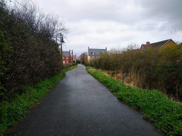
Image: © s Taken: 30 Mar 2023
Moor Lane looking Northeast. This road was originally a country lane until the Locking Castle development in the 1990s and 2000s resulted in the closure of most of Moor Lane to motor traffic on 20th November 2008.
Images are licensed for reuse under creativecommons.org/licenses/by-sa/2.0
Image Location
Latitude
51.349855
Longitude
-2.919612