Wilsill Bridge
Introduction
The photograph on this page of Wilsill Bridge by Mel Towler as part of the Geograph project.
The Geograph project started in 2005 with the aim of publishing, organising and preserving representative images for every square kilometre of Great Britain, Ireland and the Isle of Man.

There are currently over 7.5m images from over 14,400 individuals and you can help contribute to the project by visiting https://www.geograph.org.uk
Wilsill Bridge
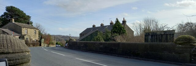
Image: © Mel Towler Taken: 17 Feb 2023
According to the OS benchmark database there is a rivet benchmark cut into the southern parapet and on the north face of the bridge. There is no room for a search because of traffic and minimal manoeuvring space. It is unknown if the benchmark still remains.
Images are licensed for reuse under creativecommons.org/licenses/by-sa/2.0
Image Location
Latitude
54.077008
Longitude
-1.72364