Harlow industrial area: Burnt Mill
Introduction
The photograph on this page of Harlow industrial area: Burnt Mill by Christopher Hilton as part of the Geograph project.
The Geograph project started in 2005 with the aim of publishing, organising and preserving representative images for every square kilometre of Great Britain, Ireland and the Isle of Man.

There are currently over 7.5m images from over 14,400 individuals and you can help contribute to the project by visiting https://www.geograph.org.uk
Harlow industrial area: Burnt Mill
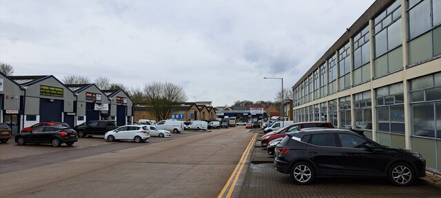
Image: © Christopher Hilton Taken: 28 Mar 2023
Burnt Mill is a road lined with ligh industrial premises in the area along the northern edge of Harlow. On the right, the distribution centre for Faber Music.
Images are licensed for reuse under creativecommons.org/licenses/by-sa/2.0
Image Location
Latitude
51.779035
Longitude
0.087122