Pateley Bridge, Blazefield
Introduction
The photograph on this page of Pateley Bridge, Blazefield by Mel Towler as part of the Geograph project.
The Geograph project started in 2005 with the aim of publishing, organising and preserving representative images for every square kilometre of Great Britain, Ireland and the Isle of Man.

There are currently over 7.5m images from over 14,400 individuals and you can help contribute to the project by visiting https://www.geograph.org.uk
Pateley Bridge, Blazefield
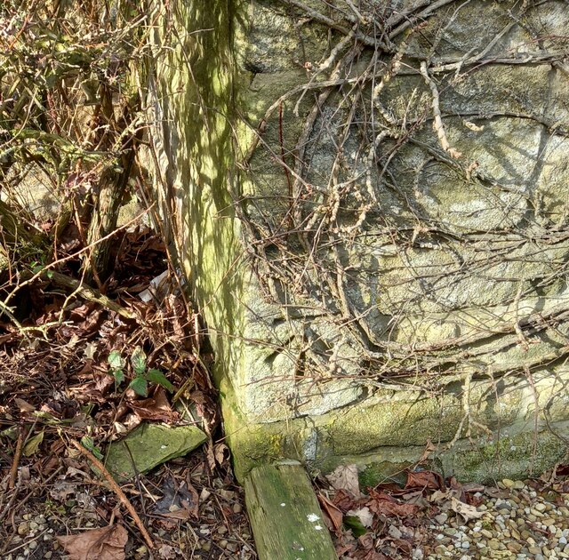
Image: © Mel Towler Taken: 17 Feb 2023
The benchmark is cut into the south-east facing wall of Cliff Farm which is on the west side of B6265.
Images are licensed for reuse under creativecommons.org/licenses/by-sa/2.0
Image Location


Leaflet Map data © OpenStreetMap
Latitude
54.083364
Longitude
-1.712898