Benchmark on buttress on SW corner of tower of St Stephen's Church
Introduction
The photograph on this page of Benchmark on buttress on SW corner of tower of St Stephen's Church by Roger Templeman as part of the Geograph project.
The Geograph project started in 2005 with the aim of publishing, organising and preserving representative images for every square kilometre of Great Britain, Ireland and the Isle of Man.

There are currently over 7.5m images from over 14,400 individuals and you can help contribute to the project by visiting https://www.geograph.org.uk
Benchmark on buttress on SW corner of tower of St Stephen's Church
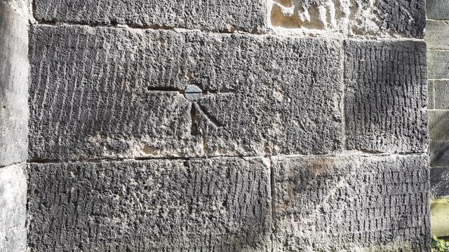
Image: © Roger Templeman Taken: 25 Mar 2023
1GL bolt benchmark levelled at 205.144 feet above Liverpool Datum during the 1842-1846 Liverpool to Spurn Head 1GL Survey. The surveyor's description was 'Branch Levelling From Mark No. 306. St. Stephen's Church, Kirkstall. Bolt at S. side of door in W. face of tower ; 5.03 ft. above surface'. It was verified in 1957 levelled at 62.341m above Newlyn Datum
Images are licensed for reuse under creativecommons.org/licenses/by-sa/2.0
Image Location
Latitude
53.817934
Longitude
-1.598791