Wellingtonia Pine Avenue 1
Introduction
The photograph on this page of Wellingtonia Pine Avenue 1 by Len Williams as part of the Geograph project.
The Geograph project started in 2005 with the aim of publishing, organising and preserving representative images for every square kilometre of Great Britain, Ireland and the Isle of Man.

There are currently over 7.5m images from over 14,400 individuals and you can help contribute to the project by visiting https://www.geograph.org.uk
Wellingtonia Pine Avenue 1
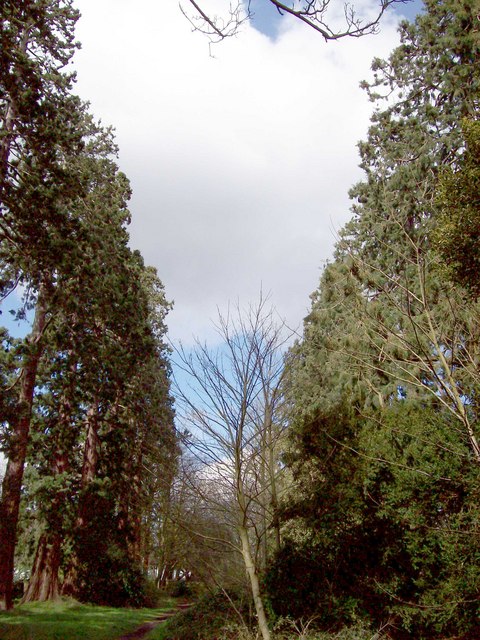
Image: © Len Williams Taken: 30 Mar 2008
An avenue of Wellingtonia pines stretched from the Upper Chobham Road to Brookwood House, (now the Ridgewood Centre). This photo shows the top of the avenue as seen from where it crosses Inglewood Avenue. For another view along the avenue refer to picture Image For a view of the avenue in 2016 refer to picture Image
Images are licensed for reuse under creativecommons.org/licenses/by-sa/2.0
Image Location
Latitude
51.335313
Longitude
-0.701707