Beneath the A1 (M)
Introduction
The photograph on this page of Beneath the A1 (M) by David Robinson as part of the Geograph project.
The Geograph project started in 2005 with the aim of publishing, organising and preserving representative images for every square kilometre of Great Britain, Ireland and the Isle of Man.

There are currently over 7.5m images from over 14,400 individuals and you can help contribute to the project by visiting https://www.geograph.org.uk
Beneath the A1 (M)
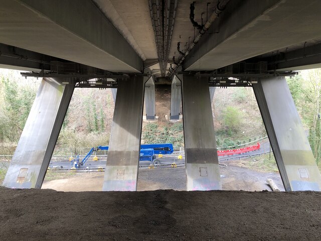
Image: © David Robinson Taken: 14 Mar 2023
The A1 (M) crossing Lumley Park Burn and Forge Lane. Repair work can be seen taking place on Forge Lane where it crosses the burn.
Images are licensed for reuse under creativecommons.org/licenses/by-sa/2.0
Image Location
Latitude
54.851653
Longitude
-1.535682