Pont Rhyd-y-fuwch, Llangoedmor
Introduction
The photograph on this page of Pont Rhyd-y-fuwch, Llangoedmor by N Scott as part of the Geograph project.
The Geograph project started in 2005 with the aim of publishing, organising and preserving representative images for every square kilometre of Great Britain, Ireland and the Isle of Man.

There are currently over 7.5m images from over 14,400 individuals and you can help contribute to the project by visiting https://www.geograph.org.uk
Pont Rhyd-y-fuwch, Llangoedmor
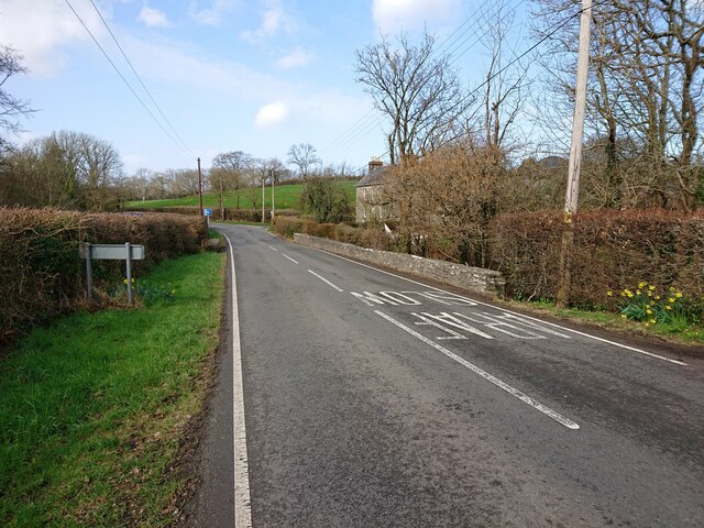
Image: © N Scott Taken: 22 Mar 2023
The North face of the North parapet used to bear an Ordnance Survey benchmark: The mark was used on the Brecknock to Cardigan line of the First Primary Levelling of England & Wales in 1856. It was levelled with a height of 28.966' above OD (Liverpool). Description: 121. Mark on East pier of small bridge, over stream crossing road ; 5.19 ft. below top of parapet. Page 572 of the abstract: https://www.bench-marks.org.uk/abstract/ew1gl/1GLA_572.png The mark was replaced by a BM on the South face at the West end of the parapet by 1904. From the West: Image
Images are licensed for reuse under creativecommons.org/licenses/by-sa/2.0
Image Location


Leaflet Map data © OpenStreetMap
Latitude
52.083218
Longitude
-4.639212