Collapsed river bank and so collapsed fence
Introduction
The photograph on this page of Collapsed river bank and so collapsed fence by Trevor Littlewood as part of the Geograph project.
The Geograph project started in 2005 with the aim of publishing, organising and preserving representative images for every square kilometre of Great Britain, Ireland and the Isle of Man.

There are currently over 7.5m images from over 14,400 individuals and you can help contribute to the project by visiting https://www.geograph.org.uk
Collapsed river bank and so collapsed fence
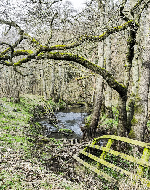
Image: © Trevor Littlewood Taken: 12 Mar 2023
The stream is the Beamish Burn and the location, close to the Beamish Open-air Museum.
Images are licensed for reuse under creativecommons.org/licenses/by-sa/2.0
Image Location
Latitude
54.883932
Longitude
-1.648164