A change for Champford
Introduction
The photograph on this page of A change for Champford by Neil Owen as part of the Geograph project.
The Geograph project started in 2005 with the aim of publishing, organising and preserving representative images for every square kilometre of Great Britain, Ireland and the Isle of Man.

There are currently over 7.5m images from over 14,400 individuals and you can help contribute to the project by visiting https://www.geograph.org.uk
A change for Champford
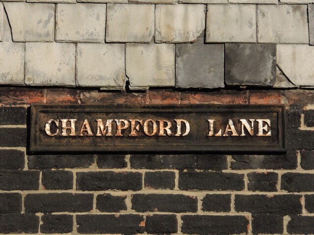
Image: © Neil Owen Taken: 14 Feb 2023
This old street nameplate looks authentically old enough. The lane is an old, narrow one and meets Mantle Street. However, in the late twentieth century the town planners made a big change: they opened up another road close to the west which met with the original Champford Lane to the south, forming a short loop. They chose to close off the original lane to form a cul-de-sac, named Champford Mews - not Champford Lane.
Images are licensed for reuse under creativecommons.org/licenses/by-sa/2.0
Image Location
Latitude
50.975694
Longitude
-3.232301