Path by Ombersley Golf Course Clubhouse to Driving Range, near Ombersley, Worcs
Introduction
The photograph on this page of Path by Ombersley Golf Course Clubhouse to Driving Range, near Ombersley, Worcs by P L Chadwick as part of the Geograph project.
The Geograph project started in 2005 with the aim of publishing, organising and preserving representative images for every square kilometre of Great Britain, Ireland and the Isle of Man.

There are currently over 7.5m images from over 14,400 individuals and you can help contribute to the project by visiting https://www.geograph.org.uk
Path by Ombersley Golf Course Clubhouse to Driving Range, near Ombersley, Worcs
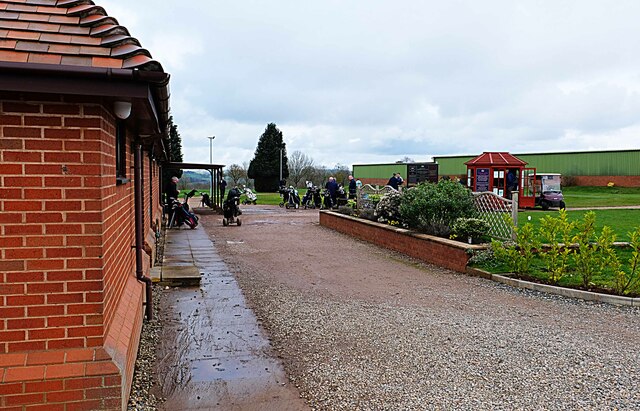
Image: © P L Chadwick Taken: 18 Mar 2023
The path leads to the Driving Range, which is the green building in the distance.
Images are licensed for reuse under creativecommons.org/licenses/by-sa/2.0
Image Location
Latitude
52.3058
Longitude
-2.250748