Bridleway 3348 towards Heath End Lane
Introduction
The photograph on this page of Bridleway 3348 towards Heath End Lane by Robin Webster as part of the Geograph project.
The Geograph project started in 2005 with the aim of publishing, organising and preserving representative images for every square kilometre of Great Britain, Ireland and the Isle of Man.

There are currently over 7.5m images from over 14,400 individuals and you can help contribute to the project by visiting https://www.geograph.org.uk
Bridleway 3348 towards Heath End Lane
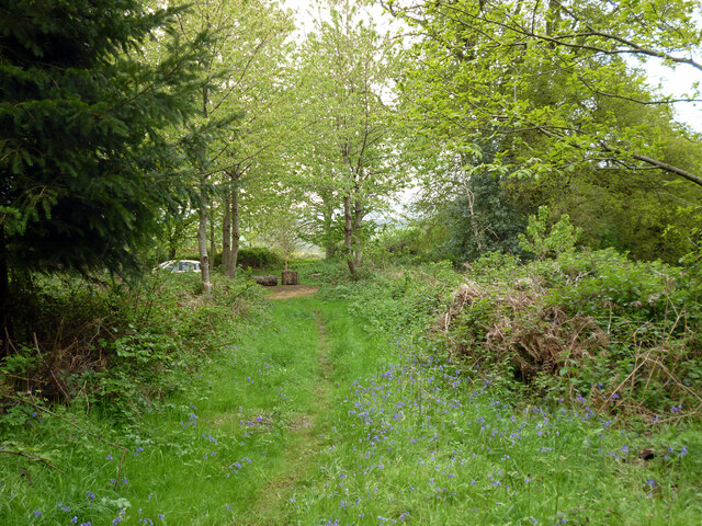
Image: © Robin Webster Taken: 11 May 2012
The bridleway runs along the parish boundary between Easebourne (right) and Lodsworth.
Images are licensed for reuse under creativecommons.org/licenses/by-sa/2.0
Image Location
Latitude
50.992597
Longitude
-0.692483