Pond, Furnacebank Wood
Introduction
The photograph on this page of Pond, Furnacebank Wood by Simon Carey as part of the Geograph project.
The Geograph project started in 2005 with the aim of publishing, organising and preserving representative images for every square kilometre of Great Britain, Ireland and the Isle of Man.

There are currently over 7.5m images from over 14,400 individuals and you can help contribute to the project by visiting https://www.geograph.org.uk
Pond, Furnacebank Wood
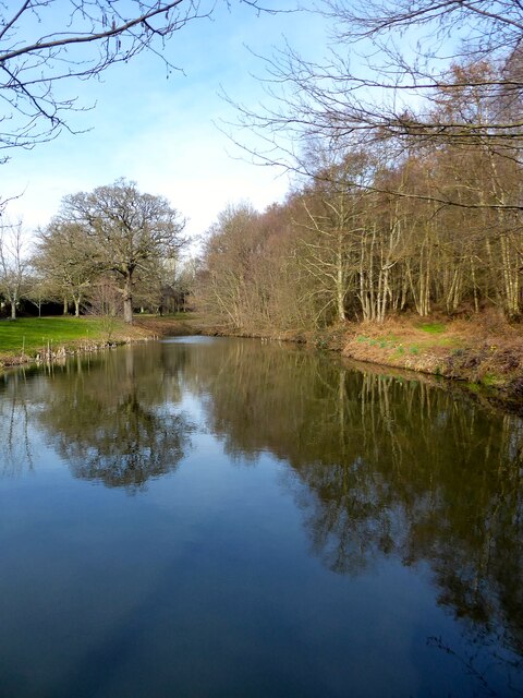
Image: © Simon Carey Taken: 16 Mar 2023
Modern pond on the western side of the wood that is middle of three. Looking at a 1947 aerial map there is a possibility that it used the site of the former pond for Maresfield Furnace.
Images are licensed for reuse under creativecommons.org/licenses/by-sa/2.0
Image Location


Leaflet Map data © OpenStreetMap
Latitude
50.990264
Longitude
0.082032