Sandfields Methodist Church
Introduction
The photograph on this page of Sandfields Methodist Church by David Hillas as part of the Geograph project.
The Geograph project started in 2005 with the aim of publishing, organising and preserving representative images for every square kilometre of Great Britain, Ireland and the Isle of Man.

There are currently over 7.5m images from over 14,400 individuals and you can help contribute to the project by visiting https://www.geograph.org.uk
Sandfields Methodist Church
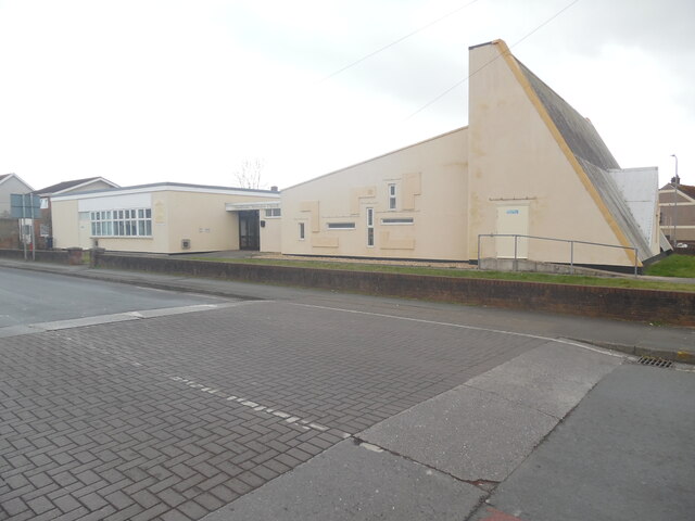
Image: © David Hillas Taken: 6 Mar 2023
Situated in Western Avenue SA12 7NF, this Methodist Church was opened on Friday 14th October 1966 to meet the needs of people who lived on the nearby Sandfields housing estate that had been built earlier in the 1950s. It is one of nine churches in the Neath Port Talbot Methodist Circuit.
Images are licensed for reuse under creativecommons.org/licenses/by-sa/2.0
Image Location
Latitude
51.606735
Longitude
-3.822194