Rocky outcrops near Swinden Water
Introduction
The photograph on this page of Rocky outcrops near Swinden Water by Kevin Waterhouse as part of the Geograph project.
The Geograph project started in 2005 with the aim of publishing, organising and preserving representative images for every square kilometre of Great Britain, Ireland and the Isle of Man.

There are currently over 7.5m images from over 14,400 individuals and you can help contribute to the project by visiting https://www.geograph.org.uk
Rocky outcrops near Swinden Water
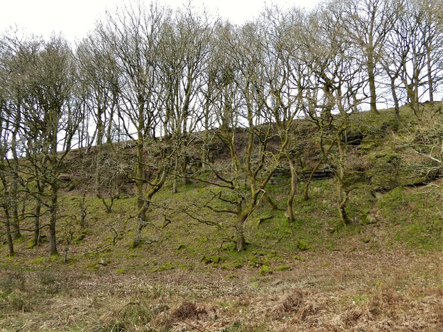
Image: © Kevin Waterhouse Taken: 4 Mar 2023
The valley starts to have rocky outcrops as it narrows at this point north of Wood Hey Farm, which is behind the camera. The Burnley Way follows this valley.
Images are licensed for reuse under creativecommons.org/licenses/by-sa/2.0
Image Location
Latitude
53.796028
Longitude
-2.195951