Friary Road major developments
Introduction
The photograph on this page of Friary Road major developments by James Emmans as part of the Geograph project.
The Geograph project started in 2005 with the aim of publishing, organising and preserving representative images for every square kilometre of Great Britain, Ireland and the Isle of Man.

There are currently over 7.5m images from over 14,400 individuals and you can help contribute to the project by visiting https://www.geograph.org.uk
Friary Road major developments
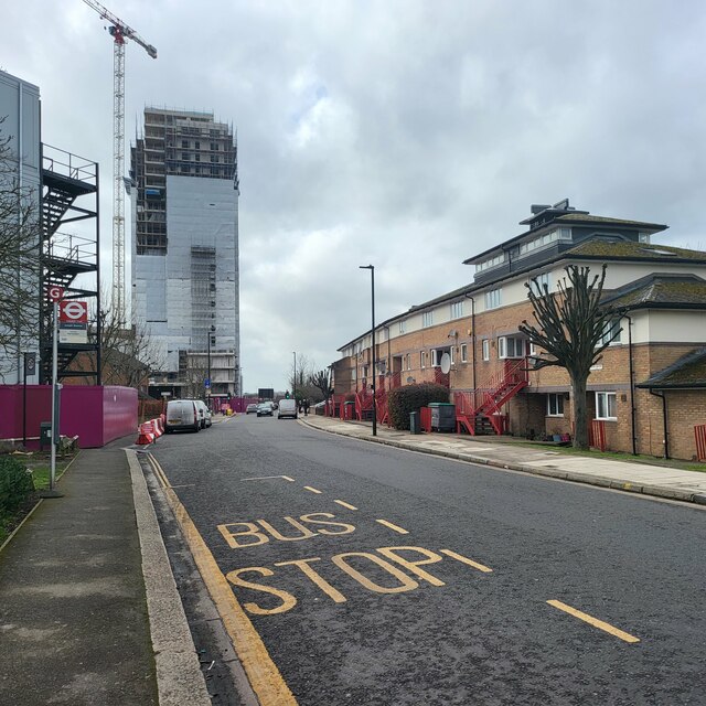
Image: © James Emmans Taken: 12 Mar 2023
Between the A40 and the Acton Main Line station.
Images are licensed for reuse under creativecommons.org/licenses/by-sa/2.0
Image Location
Latitude
51.517485
Longitude
-0.263142