Landscape near Winford from the air
Introduction
The photograph on this page of Landscape near Winford from the air by Derek Harper as part of the Geograph project.
The Geograph project started in 2005 with the aim of publishing, organising and preserving representative images for every square kilometre of Great Britain, Ireland and the Isle of Man.

There are currently over 7.5m images from over 14,400 individuals and you can help contribute to the project by visiting https://www.geograph.org.uk
Landscape near Winford from the air
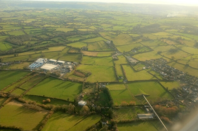
Image: © Derek Harper Taken: 7 Mar 2023
See Image for another view of the Avon Livestock Centre. At lower right is a stretch (white) of the Winford Aqueduct, and part of Winford village is on the right.
Images are licensed for reuse under creativecommons.org/licenses/by-sa/2.0
Image Location
Latitude
51.378601
Longitude
-2.658009