Gunnery Terrace, Leamington
Introduction
The photograph on this page of Gunnery Terrace, Leamington by Robin Stott as part of the Geograph project.
The Geograph project started in 2005 with the aim of publishing, organising and preserving representative images for every square kilometre of Great Britain, Ireland and the Isle of Man.

There are currently over 7.5m images from over 14,400 individuals and you can help contribute to the project by visiting https://www.geograph.org.uk
Gunnery Terrace, Leamington
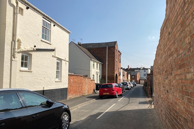
Image: © Robin Stott Taken: 23 Mar 2022
The name remembers Gunnery Farm. Recollections published in 1895 recall the area as open fields until 1833 when Gunnery-row was built, reportedly in parallel Guy's Cliffe Road. The tall brick building is Gunnery House, built 1850, restored in 1990, and now occupied by several companies; not listed.
Images are licensed for reuse under creativecommons.org/licenses/by-sa/2.0
Image Location
Latitude
52.29172
Longitude
-1.548524