New housing at Iwade
Introduction
The photograph on this page of New housing at Iwade by Richard Dorrell as part of the Geograph project.
The Geograph project started in 2005 with the aim of publishing, organising and preserving representative images for every square kilometre of Great Britain, Ireland and the Isle of Man.

There are currently over 7.5m images from over 14,400 individuals and you can help contribute to the project by visiting https://www.geograph.org.uk
New housing at Iwade
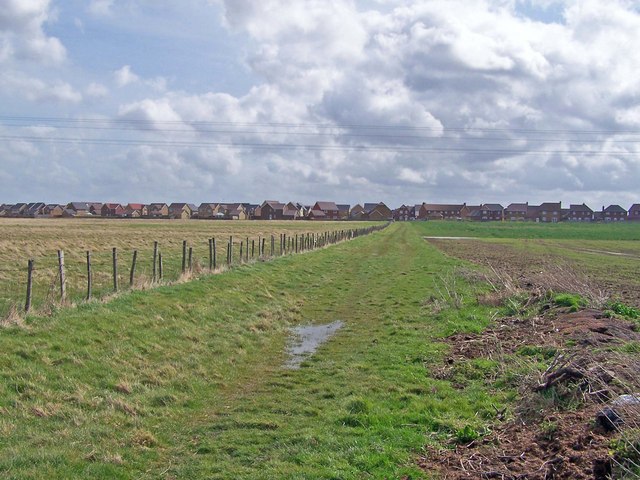
Image: © Richard Dorrell Taken: 29 Mar 2008
Iwade expanded rapidly. The housing seen here is not yet marked on the Ordnance Survey Landranger map.
Images are licensed for reuse under creativecommons.org/licenses/by-sa/2.0
Image Location
Latitude
51.377812
Longitude
0.720955