Former Methodist Church in Tanfield Lea
Introduction
The photograph on this page of Former Methodist Church in Tanfield Lea by Robert Graham as part of the Geograph project.
The Geograph project started in 2005 with the aim of publishing, organising and preserving representative images for every square kilometre of Great Britain, Ireland and the Isle of Man.

There are currently over 7.5m images from over 14,400 individuals and you can help contribute to the project by visiting https://www.geograph.org.uk
Former Methodist Church in Tanfield Lea
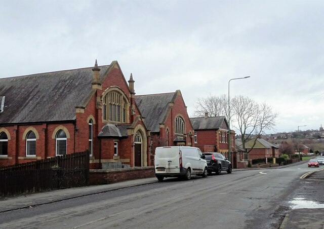
Image: © Robert Graham Taken: 6 Mar 2023
These fine buildings were opened in 1913. They consisted of a church, and attached schoolroom and church hall. Not sure what they are being used for now that the church has closed. The third building in this row is the Community Centre.
Images are licensed for reuse under creativecommons.org/licenses/by-sa/2.0
Image Location
Latitude
54.880684
Longitude
-1.711628