Coed ar derfyn cae blaenorol / Trees on a former field boundary
Introduction
The photograph on this page of Coed ar derfyn cae blaenorol / Trees on a former field boundary by Christine Johnstone as part of the Geograph project.
The Geograph project started in 2005 with the aim of publishing, organising and preserving representative images for every square kilometre of Great Britain, Ireland and the Isle of Man.

There are currently over 7.5m images from over 14,400 individuals and you can help contribute to the project by visiting https://www.geograph.org.uk
Coed ar derfyn cae blaenorol / Trees on a former field boundary
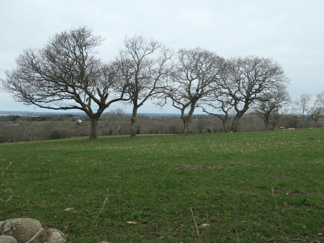
Image: © Christine Johnstone Taken: 4 Mar 2023
The large-scale OS maps surveyed in 1888 and 1898 show a track to Ty'n y Coed following the line of the trees. It is not shown on the map revised in 1913.
Images are licensed for reuse under creativecommons.org/licenses/by-sa/2.0
Image Location
Latitude
53.114948
Longitude
-4.256824