Quinton Farm House
Introduction
The photograph on this page of Quinton Farm House by Richard Dorrell as part of the Geograph project.
The Geograph project started in 2005 with the aim of publishing, organising and preserving representative images for every square kilometre of Great Britain, Ireland and the Isle of Man.

There are currently over 7.5m images from over 14,400 individuals and you can help contribute to the project by visiting https://www.geograph.org.uk
Quinton Farm House
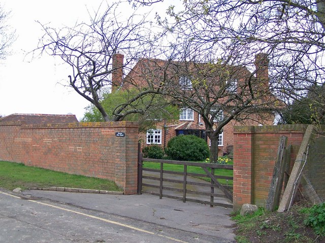
Image: © Richard Dorrell Taken: 29 Mar 2008
Re-alignment of Quinton Road, due to the construction of the A249 dual carriageway, means that Quinton Farm House now stands quietly in its own little cul de sac.
Images are licensed for reuse under creativecommons.org/licenses/by-sa/2.0
Image Location
Latitude
51.355208
Longitude
0.718322