Styes Lane
Introduction
The photograph on this page of Styes Lane by Chris Heaton as part of the Geograph project.
The Geograph project started in 2005 with the aim of publishing, organising and preserving representative images for every square kilometre of Great Britain, Ireland and the Isle of Man.

There are currently over 7.5m images from over 14,400 individuals and you can help contribute to the project by visiting https://www.geograph.org.uk
Styes Lane
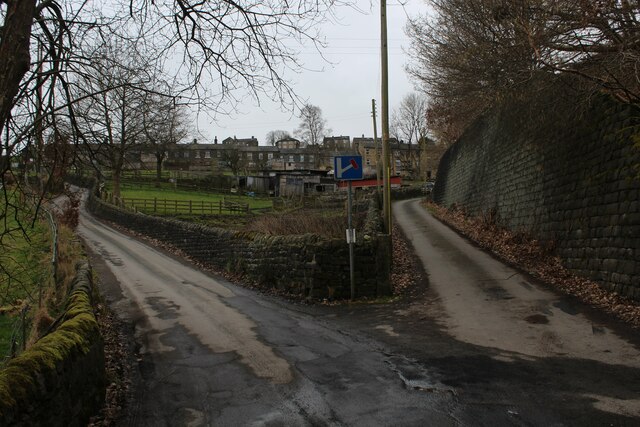
Image: © Chris Heaton Taken: 4 Mar 2023
Styes Lane is on the left, ascending towards the village of Sowerby. The right hand fork gives access to Swamp Cottage and other local dwellings.
Images are licensed for reuse under creativecommons.org/licenses/by-sa/2.0
Image Location
Latitude
53.713125
Longitude
-1.942691