Dennett Road
Introduction
The photograph on this page of Dennett Road by Ian Capper as part of the Geograph project.
The Geograph project started in 2005 with the aim of publishing, organising and preserving representative images for every square kilometre of Great Britain, Ireland and the Isle of Man.

There are currently over 7.5m images from over 14,400 individuals and you can help contribute to the project by visiting https://www.geograph.org.uk
Dennett Road
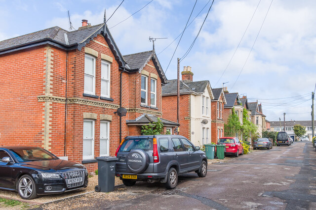
Image: © Ian Capper Taken: 11 May 2022
19th Century buildings on Dennett Road, first marked on the 1898 6 inch map. The road was unnamed on that map, but on the 1908 and 1946 25 inch maps it is shown as Dennett's Road. The 1962 and 1966 1:10,000 maps name it Dennet Road.
Images are licensed for reuse under creativecommons.org/licenses/by-sa/2.0
Image Location
Latitude
50.688936
Longitude
-1.088853