Shirehampton Methodist church
Introduction
The photograph on this page of Shirehampton Methodist church by Neil Owen as part of the Geograph project.
The Geograph project started in 2005 with the aim of publishing, organising and preserving representative images for every square kilometre of Great Britain, Ireland and the Isle of Man.

There are currently over 7.5m images from over 14,400 individuals and you can help contribute to the project by visiting https://www.geograph.org.uk
Shirehampton Methodist church
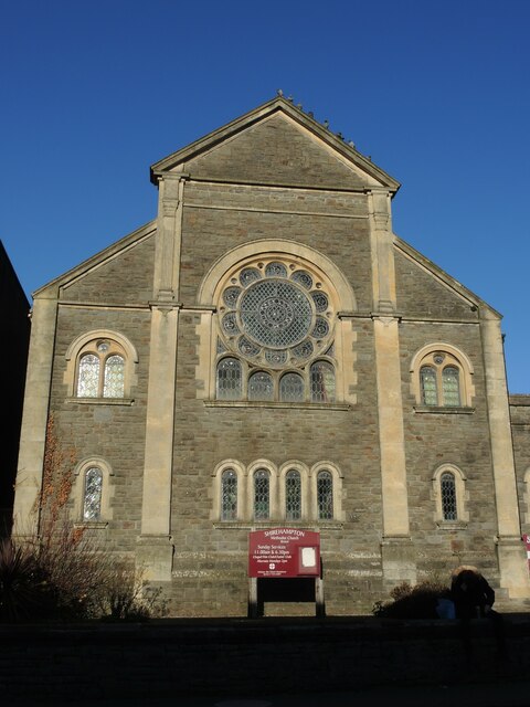
Image: © Neil Owen Taken: 6 Feb 2023
The church started as a Wesleyan place of worship in the nineteenth century, with a Sunday school being added behind it in following years.
Images are licensed for reuse under creativecommons.org/licenses/by-sa/2.0
Image Location
Latitude
51.489278
Longitude
-2.675733