Entrance to churchyard, Charlbury
Introduction
The photograph on this page of Entrance to churchyard, Charlbury by Derek Harper as part of the Geograph project.
The Geograph project started in 2005 with the aim of publishing, organising and preserving representative images for every square kilometre of Great Britain, Ireland and the Isle of Man.

There are currently over 7.5m images from over 14,400 individuals and you can help contribute to the project by visiting https://www.geograph.org.uk
Entrance to churchyard, Charlbury
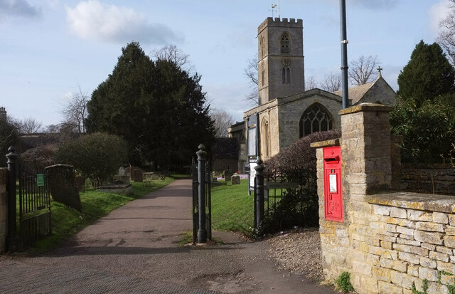
Image: © Derek Harper Taken: 11 Feb 2022
The path into the churchyard continues the line of Church Street, but the road swings left to become Park Street. The grade I listed St Mary's church is described at https://historicengland.org.uk/listing/the-list/list-entry/1053232?section=official-list-entry . The George V postbox is numbered OX7 165.
Images are licensed for reuse under creativecommons.org/licenses/by-sa/2.0
Image Location
Latitude
51.872132
Longitude
-1.484178