Signage for the public footpath to Babbinswood
Introduction
The photograph on this page of Signage for the public footpath to Babbinswood by TCExplorer as part of the Geograph project.
The Geograph project started in 2005 with the aim of publishing, organising and preserving representative images for every square kilometre of Great Britain, Ireland and the Isle of Man.

There are currently over 7.5m images from over 14,400 individuals and you can help contribute to the project by visiting https://www.geograph.org.uk
Signage for the public footpath to Babbinswood
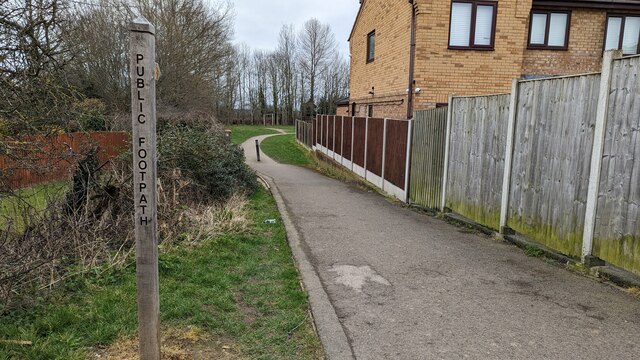
Image: © TCExplorer Taken: 3 Mar 2023
From here the footpath leaves the housing estate and crosses the A5
Images are licensed for reuse under creativecommons.org/licenses/by-sa/2.0
Image Location
Latitude
52.863267
Longitude
-3.031549